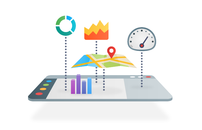
UI building blocks are designed with maximum customization abilities in mind, causing minimal influence to the look and feel of an end-user interface. All blocks are combined and customized in visual editors, requiring no programming knowledge.
Any visually designed interfaces will be 100% compatible with both multi-server unified console and web interface.
User Interfaces
A secure unified operations console is available along with the HTML5-based mobile-friendly web client.
Widgets
Widgets allow creating custom dynamic forms, maps, interactive UI components and complex Human-Machine Interfaces (HMI) to configure and monitor your devices. Integrated GUI Builder application helps to create your widgets from scratch without any programming.
Dashboards
Dashboards for building second-line operator interfaces and grouping key parameters together.
Reports
Advanced reporting facility, automatic report generation from any viewed/edited data, report printing and exporting in different formats.
Charts
Comprehensive list of chart and diagram types. On-event and periodic update capability. Thousands of configurable properties. Support for auto-calculated trend lines, such as percentiles, moving averages, etc.
Maps
Show devices, groups, routes, geofences, links and other objects on geographical maps that use any source, such as Google Maps, Bing Maps, OpenStreetMap, or other. Add layers, controls and selectors to your maps, and visually build any custom operator interfaces.
Topologies
Topologies of IP network connections, electrical wiring schemas, pipeline structures or hierarchies of business service components visualized on a graph component.
Video Streams
Video streams originated by IP cameras and video management/analytics systems. These can be both live streams and archived fragments.
Dynamic Images
Support for extended Scalable Vector Graphics (SVG) images with user-defined properties allowing to affect their appearance and behavior.
Auto-Run
Auto-run facility to start actions automatically upon operator login, allowing them to see custom role-specific interfaces.
Trackers
Trackers for monitoring KPIs and other mission-critical parameters. Every tracker can have multiple user-defined states indicated by color highlighting.
Favorites
Favorites allow access to commonly used actions in a single mouse click.

